Contact us:
UK: +44 (0) 1242 254353
USA: +001 800 671 9863
Walking holidays for everyone
Toggle navigation
Home
Our Holidays
Guided
Self Guided
Pilgrim Routes
Tailor Made
Cycling
Destinations
Albania
Austria
Belgium
Bulgaria
Corsica
Croatia
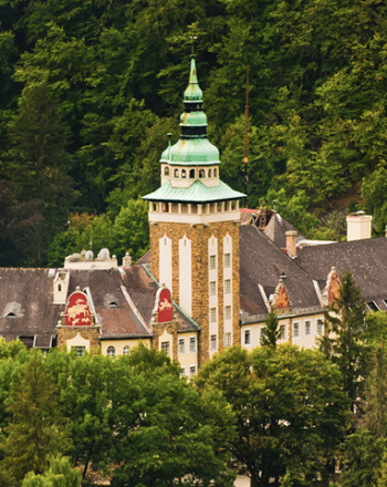
Czech Republic
England
France
Germany
Greece
Hungary
Ireland
Italy
Japan
Kenya
Madeira
Malta
Mongolia
Montenegro
Morocco
New Zealand
Poland
Portugal
Romania
Scotland
Slovakia
Slovenia
South Africa
Spain
Sweden
Switzerland
Turkey
Wales
About Us
Grading
Who we work with
FAQs
Brochure
Your Photos
Blog
Contact
SELECT YOUR DESTINATION
SEARCH
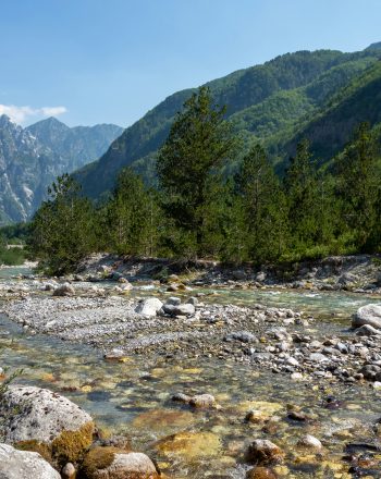
Albania
Albania
Albania's stunning mountain scenery, crumbling castles, boisterous capital and dreamy beaches rival any in the Mediterranean and continue to enchant.
FIND OUT MORE
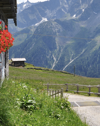
Austria
Austria
Enjoy Picturesque Walking Holidays in Austria
FIND OUT MORE
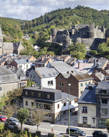
Belgium
Belgium
Find Your Perfect Walking Holiday in Belgium
FIND OUT MORE
Bulgaria
Bulgaria
Go Traditional on one of our Walking Holidays in Bulgaria
FIND OUT MORE
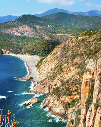
Corsica
Corsica
Walking Holidays in Corsica: Exploring the Corsican Heartlands
FIND OUT MORE
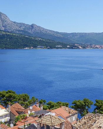
Croatia
Croatia
Walking Holidays in Croatia: An Unspoilt Landscape
FIND OUT MORE
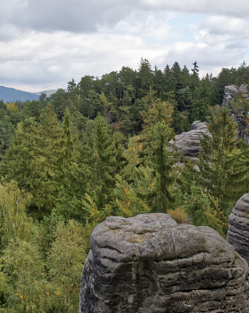
Czech Republic
Czech Republic
Choose From our Range of Walking Holidays in the Czech Republic
FIND OUT MORE
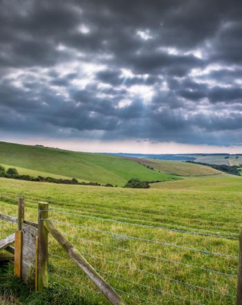
England
England
Walking Holidays in England: A Quintessentially English Experience
FIND OUT MORE
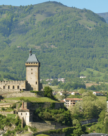
France
France
Choose From Our Wonderful Range of Walking Holidays in France
FIND OUT MORE
Germany
Germany
A Fairytale Landscape: Walking Holidays in Germany
FIND OUT MORE
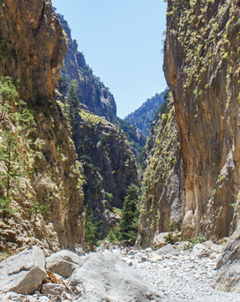
Greece
Greece
Walking Holidays in Greece to Suit You
FIND OUT MORE
Hungary
Hungary
Discover History on Walking Holidays in Hungary
FIND OUT MORE
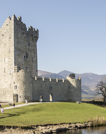
Ireland
Ireland
Hiking Tours and Walking Holidays in Ireland
FIND OUT MORE
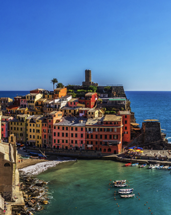
Italy
Italy
Walking and Hiking Holidays in Italy
FIND OUT MORE
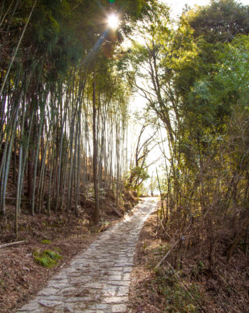
Japan
Japan
Explore the scenery and tradition of a fascinating country with a walking holiday in Japan.
FIND OUT MORE
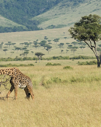
Kenya
Kenya
Enjoy Unique Walking Safaris in Kenya
FIND OUT MORE
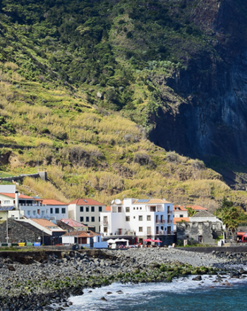
Madeira
Madeira
Explore the Best Walking Holidays in Madeira
FIND OUT MORE
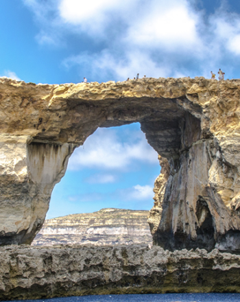
Malta
Malta
Explore Unspoilt Landscape on Walking Holidays in Malta
FIND OUT MORE
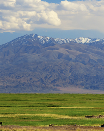
Mongolia
Mongolia
Hiking and Trekking on Walking Holidays in Mongolia
FIND OUT MORE
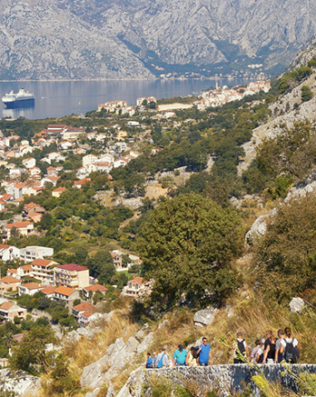
Montenegro
Montenegro
Walking Tours and Walking Holidays in Montenegro
FIND OUT MORE
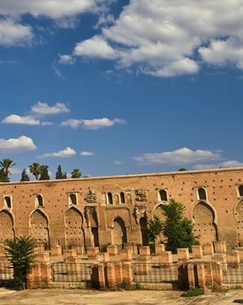
Morocco
Morocco
Cultural Walking Holidays in Morocco
FIND OUT MORE
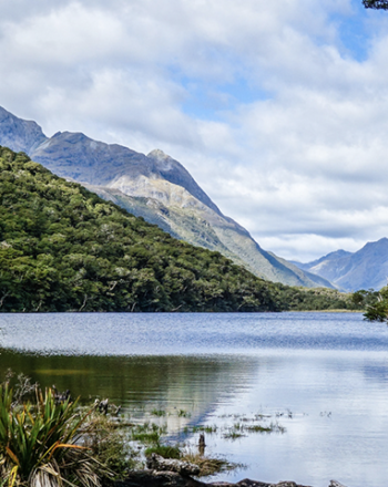
New Zealand
New Zealand
Hiking Tours and Walking Holidays in New Zealand
FIND OUT MORE
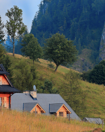
Poland
Poland
Enjoy the Beauty of Walking Holidays in Poland
FIND OUT MORE
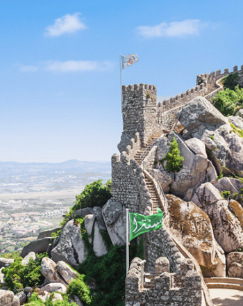
Portugal
Portugal
Walking Holidays in Portugal: From Mountains to Sea
FIND OUT MORE
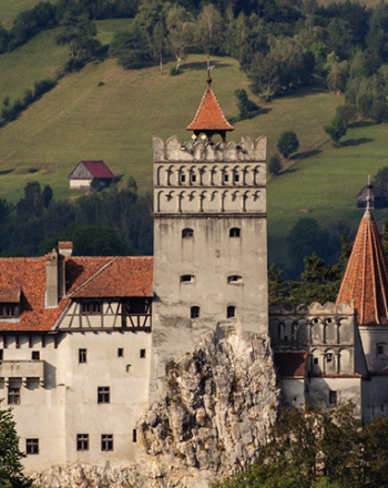
Romania
Romania
Unique Cultural Walking Holidays in Romania
FIND OUT MORE
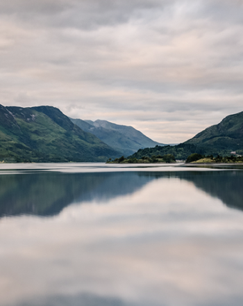
Scotland
Scotland
Enjoy the Unspoilt Wilderness of Walking Holidays in Scotland
FIND OUT MORE
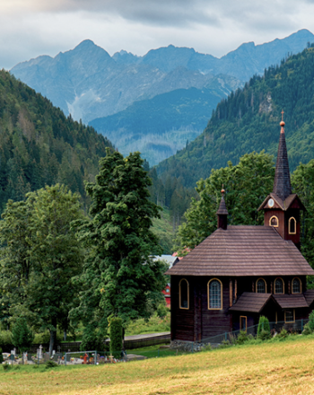
Slovakia
Slovakia
Hiking and Walking Holidays in Slovakia
FIND OUT MORE
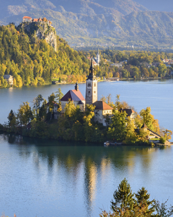
Slovenia
Slovenia
Experience Untouched Walking Holidays in Slovenia
FIND OUT MORE
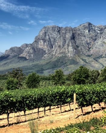
South Africa
South Africa
Experience The Fascinating South Africa on a Walking Tour
FIND OUT MORE
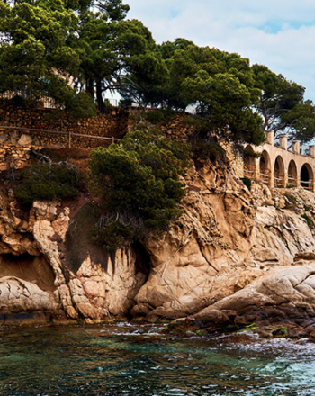
Spain
Spain
Walking Holidays in Spain: The Camino Way and Pilgrim Walks
FIND OUT MORE
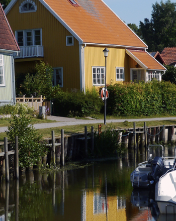
Sweden
Sweden
Choose From a Wide Range of Walking Holidays in Sweden
FIND OUT MORE
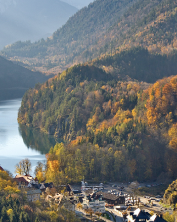
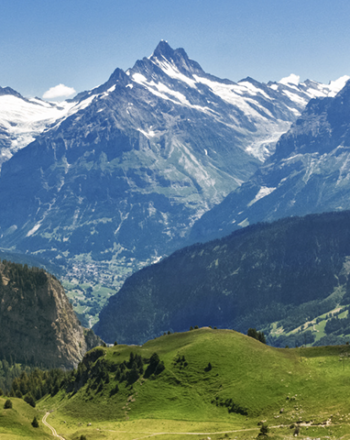
Switzerland
Switzerland
Mountains and Lakes: Experience a Glorious Walking Holiday in Switzerland
FIND OUT MORE
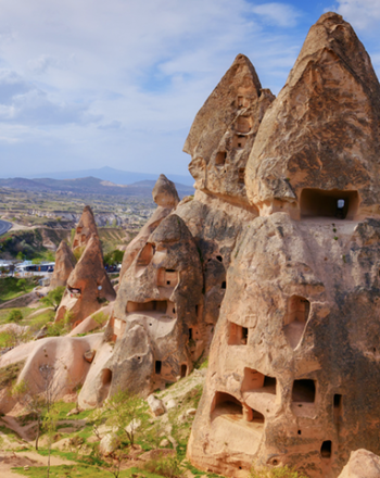
Turkey
Turkey
Take a Trip Through History on a Walking Holiday in Turkey
FIND OUT MORE
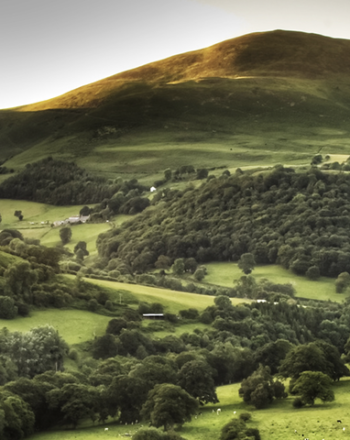
Wales
Wales
Walking Holidays in Wales: Coastal Paths and Mountain Ranges
FIND OUT MORE
SELECT YOUR DESTINATION
SEARCH
SIGN UP TO OUR NEWSLETTER
Sign up to receive the latest information on World Walks